
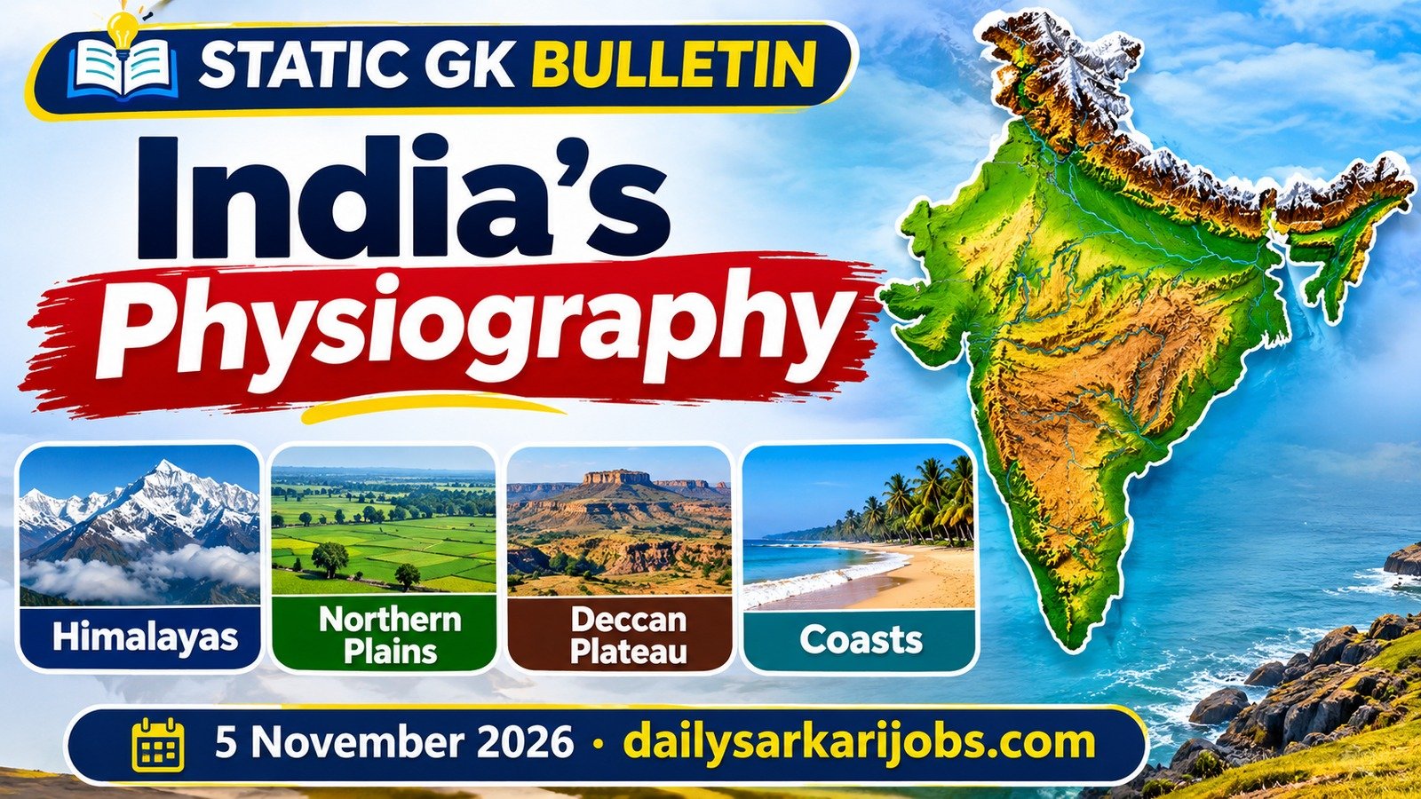
India’s relief is usually taught as a list of six divisions to be memorised. It is far easier than that, because the whole chapter follows from a single contrast, and once you see it the rivers, the soils and even the rainfall stop being separate things to learn.
The Oldest Land and the Youngest Land, Side by Side
India contains some of the oldest rock on the Earth’s surface and some of the youngest mountains on it, and they touch.
The Peninsular Plateau is ancient. It is a surviving piece of the old southern landmass of Gondwana, it has been stable for an immense stretch of time, and it has been worn down rather than pushed up. The Himalayas are the opposite in every respect. They were raised when the Indian plate collided with the Eurasian plate, they are young fold mountains, and they are still rising today, which is why the region has earthquakes.
| Peninsular Plateau | The Himalayas | |
|---|---|---|
| Age | Among the oldest landmasses | Among the youngest mountains |
| Made by | Long erosion of stable old rock | Collision of two plates, folding |
| Still changing? | Stable | Still rising; earthquake-prone |
| Its rivers | Rain-fed, so many run dry | Snow-fed, so they flow all year |
| Its valleys | Shallow, old, gentle | Deep, steep, young |
That last pair of rows is the hinge. A river’s behaviour is decided by the land it was born in. The Ganga and the Brahmaputra have Himalayan snow behind them, so they never stop; the Godavari and the Krishna have only the monsoon behind them, so they shrink in the dry months. Perennial and seasonal is not a fact about rivers. It is a fact about relief. Our capsule on rivers, dams and lakes takes that distinction further.
Jargon, Defined Once
- Fold mountains are mountains made when rock is squeezed from both sides and buckles upward, the way a rug rucks up when you push its ends together. The Himalayas are the standard example.
- A plateau is high land that is flat or gently rolling on top, rather than peaked. Height without a summit.
- Alluvium is the fine soil a river drops as it slows down. The Northern Plains are made entirely of it.
- A peninsula is land with water on three sides. India’s southern half is one, which is why the plateau is called Peninsular.
The Six Physical Divisions
| Division | What it is | Worth remembering |
|---|---|---|
| The Himalayas | Young fold mountains in the north | Three parallel ranges; snow-fed rivers |
| The Northern Plains | Flat land built from river alluvium | Made by the Indus, Ganga and Brahmaputra |
| The Peninsular Plateau | Old, worn, stable tableland | Rich in minerals; rain-fed rivers |
| The Indian Desert | Sandy land west of the Aravallis | The Luni is its main stream |
| The Coastal Plains | Narrow in the west, wide in the east | Deltas form on the east |
| The Islands | Two very different groups | Coral in the west, hills in the east |
The Himalayas: Three Ranges, Not One Wall
| Range | Other names | What marks it out |
|---|---|---|
| Greater Himalaya | Himadri | The highest, about 6,000 m on average; perennial snow; the great peaks |
| Lesser Himalaya | Himachal | Pir Panjal, Dhauladhar, Mahabharat; the hill stations |
| Outer Himalaya | Shiwaliks | The lowest and newest; built of gravel washed down from above |
- The flat valleys between the Shiwaliks and the Lesser Himalaya are called Duns — Dehra Dun is the famous one.
- Going west to east the Himalayas are divided into the Punjab, Kumaon, Nepal and Assam Himalayas, named after the regions they run through rather than after anything in the rock.
- Where the range turns sharply south along India’s eastern edge it is called the Purvanchal — the Patkai, Naga, Manipur and Mizo hills. Much lower, but the same mountain system.
The Northern Plains: Four Belts Nobody Remembers in Order
Walk south from the Shiwaliks and the plain changes four times. This sequence is asked more often than any other part of the chapter, and it is pure logic once you follow the water.
| Belt | What it is | The giveaway |
|---|---|---|
| Bhabar | A narrow belt of pebbles at the foot of the hills | Streams vanish underground here |
| Terai | Wet, marshy land just south of the Bhabar | The same streams reappear |
| Bhangar | Older alluvium, lying above the flood plain | Contains lime nodules called kankar |
| Khadar | Newer alluvium in the flood plain itself | Renewed every flood, so more fertile |
A memory trick that works. Bhabar is coarse, so water sinks; Terai is where it comes back up. Bhangar is the older bank and Khadar is the fresh one — and the fresher soil is the better soil, which is the opposite of what people guess. Our capsule on soils and crops picks the story up from there.
The Peninsular Plateau and the Two Ghats
- North of the Narmada lie the Central Highlands, including the Malwa plateau, bounded by the Aravallis in the north-west and the Vindhyas in the south.
- South of the Narmada lies the Deccan Plateau, a triangle tilting gently eastward, which is why almost all its big rivers run east into the Bay of Bengal.
- The Chotanagpur plateau in the north-east of the peninsula holds India’s richest mineral belt, drained by the Damodar.
- The Western Ghats are continuous and can be crossed only through passes such as the Thal, Bhor and Pal. The Eastern Ghats are broken and discontinuous, cut through by the rivers running east.
- The Western Ghats are higher — and they rise southward, which is why the peninsula’s highest peak, Anamudi (2,695 m), is in the far south.
The Coasts and the Two Island Groups
| Feature | Western side | Eastern side |
|---|---|---|
| Width | Narrow | Broad |
| Section names | Konkan, Kanara, Malabar | Northern Circars, Coromandel |
| River mouths | Mostly estuaries | Mostly deltas |
| Island group | Lakshadweep, made of coral | Andaman and Nicobar, hilly and elongated |
- Lakshadweep lies in the Arabian Sea and is of coral origin. It was renamed Lakshadweep in 1973; before that the group was called Laccadive, Minicoy and Amindivi.
- Barren Island, in the Andamans, holds India’s only active volcano.
- India’s southernmost point, Indira Point, is on Great Nicobar — not Kanyakumari, which is only the southern tip of the mainland. Our capsule on India’s location and extent covers that trap in full.
Exam Alert: Four Traps Worth Marking
- Kanchenjunga against K2. Kanchenjunga (8,586 m) in Sikkim is the highest peak in the territory India administers. K2 at 8,611 m is higher and stands in the Karakoram, in territory India claims but does not administer, so the two appear as different answers depending on how the question is worded. Read the wording.
- Bhangar against Khadar. Bhangar is older, Khadar is newer, and Khadar is the more fertile. Old does not mean rich here.
- The two island groups are opposites. Lakshadweep is coral in the Arabian Sea; the Andaman and Nicobar Islands are hilly and lie in the Bay of Bengal.
- Highest peak in India against highest in Peninsular India. Kanchenjunga and Anamudi — two different questions that look almost identical on the page.
Did You Know: The Plains Are Younger Than the Mountains Above Them
The Northern Plains did not exist before the Himalayas did. They are made of the Himalayas — rock ground off the young mountains, carried down by the rivers and dropped on a trough between the mountains and the old plateau.
The alluvium there runs to great depth, and the plain is still being built every monsoon. So the most densely populated farmland in India is, geologically speaking, the newest ground in the country — younger even than the mountains that made it.
Why a Reader Should Care
Physical geography is the base that the rest of the geography syllabus sits on. Rivers, soils, rainfall, crops, minerals and population all follow from relief, so a reader who knows the six divisions properly finds the other chapters half-learned already. Our capsules on the Indian monsoon and on soils and crops both lean on it directly.
Today’s Current Affairs capsule is on the Agnipath scheme and the new two-year extension for Agniveers. The two fit together more closely than they look: the frontier those soldiers hold is the youngest and least settled ground in the country, and the reason it is hard to defend is the same reason it is still rising.
Practice Questions
Q1. Which of these belts of the Northern Plains is made of older alluvium and contains lime nodules?
(a) Khadar (b) Bhabar (c) Bhangar (d) Terai
Answer: (c) Bhangar The newer alluvium of the flood plain is called Khadar, and because every flood renews it, it is the more fertile of the two.
Q2. The Shiwaliks are also known as
(a) The Greater Himalaya (b) The Outer Himalaya (c) The Lesser Himalaya (d) The Purvanchal
Answer: (b) The Outer Himalaya Himadri is the Greater Himalaya and Himachal the Lesser; the flat valleys lying between the Shiwaliks and the Lesser Himalaya are called Duns.
Q3. Anamudi is the highest peak of
(a) The Eastern Ghats (b) The Aravalli range (c) The Satpura range (d) Peninsular India
Answer: (d) Peninsular India It stands at about 2,695 m in the Western Ghats in the far south, which rise higher as they run southward.
Q4. The Lakshadweep islands are
(a) Of coral origin, in the Arabian Sea (b) Volcanic, in the Bay of Bengal (c) Of coral origin, in the Bay of Bengal (d) Volcanic, in the Arabian Sea
Answer: (a) Of coral origin, in the Arabian Sea The Andaman and Nicobar group lies in the Bay of Bengal, and Barren Island there holds India’s only active volcano.
Q5. Which statement about the Western and Eastern Ghats is correct?
(a) The Eastern Ghats are higher and continuous (b) Both are equally continuous (c) The Western Ghats are continuous and crossed through passes, while the Eastern Ghats are discontinuous (d) The Western Ghats are discontinuous and cut by rivers
Answer: (c) The Western Ghats are continuous and crossed through passes, while the Eastern Ghats are discontinuous The eastern range is broken precisely because the peninsula tilts east, so the big rivers cut through it on their way to the Bay of Bengal.
30-Second Revision
- The hinge: the oldest land and the youngest land sit side by side. The Peninsular Plateau is ancient, stable and worn down; the Himalayas are young fold mountains, still rising. Snow-fed perennial rivers in the north, rain-fed seasonal rivers in the south, for that reason alone.
- The Himalayas: Himadri, Himachal, Shiwaliks from north to south, Duns between the last two, Purvanchal where the system turns south in the east.
- The plains: Bhabar → Terai → Bhangar → Khadar. Streams sink in the Bhabar and reappear in the Terai; Khadar is newer and more fertile than Bhangar.
- The peninsula: Central Highlands north of the Narmada, Deccan south of it, tilting east; Western Ghats continuous and higher, Eastern Ghats broken; Anamudi, 2,695 m, is the peninsula’s highest point.
- Coasts and islands: estuaries in the west, deltas in the east; Lakshadweep is coral in the Arabian Sea, the Andamans are hilly in the Bay of Bengal; Indira Point on Great Nicobar is India’s southernmost point.
What Is Not Settled
One honest note on heights. The figures used above are the standard school-textbook values that examinations follow. The highest peak of the Eastern Ghats is a genuine example of textbooks and surveys disagreeing — the usual textbook answer is Mahendragiri at about 1,501 m, while some survey measurements put Arma Konda in Andhra Pradesh higher. Answer such a question the way the syllabus teaches it, and know that the disagreement exists.
Sources
- NCERT geography textbooks on the physical features of India — the six physical divisions, the three Himalayan ranges and their regional names, the Bhabar, Terai, Bhangar and Khadar sequence, the structure of the Peninsular Plateau, the contrast between the Western and Eastern Ghats, the coastal plains and the two island groups.
- The description of the Peninsular Plateau as part of the old Gondwana landmass, and of the Himalayas as young fold mountains raised by the collision of the Indian and Eurasian plates, is standard physical geography reproduced here at syllabus level.
- Heights are the conventional textbook figures. Where a survey measurement differs from the textbook value, the difference is noted above rather than quietly resolved.