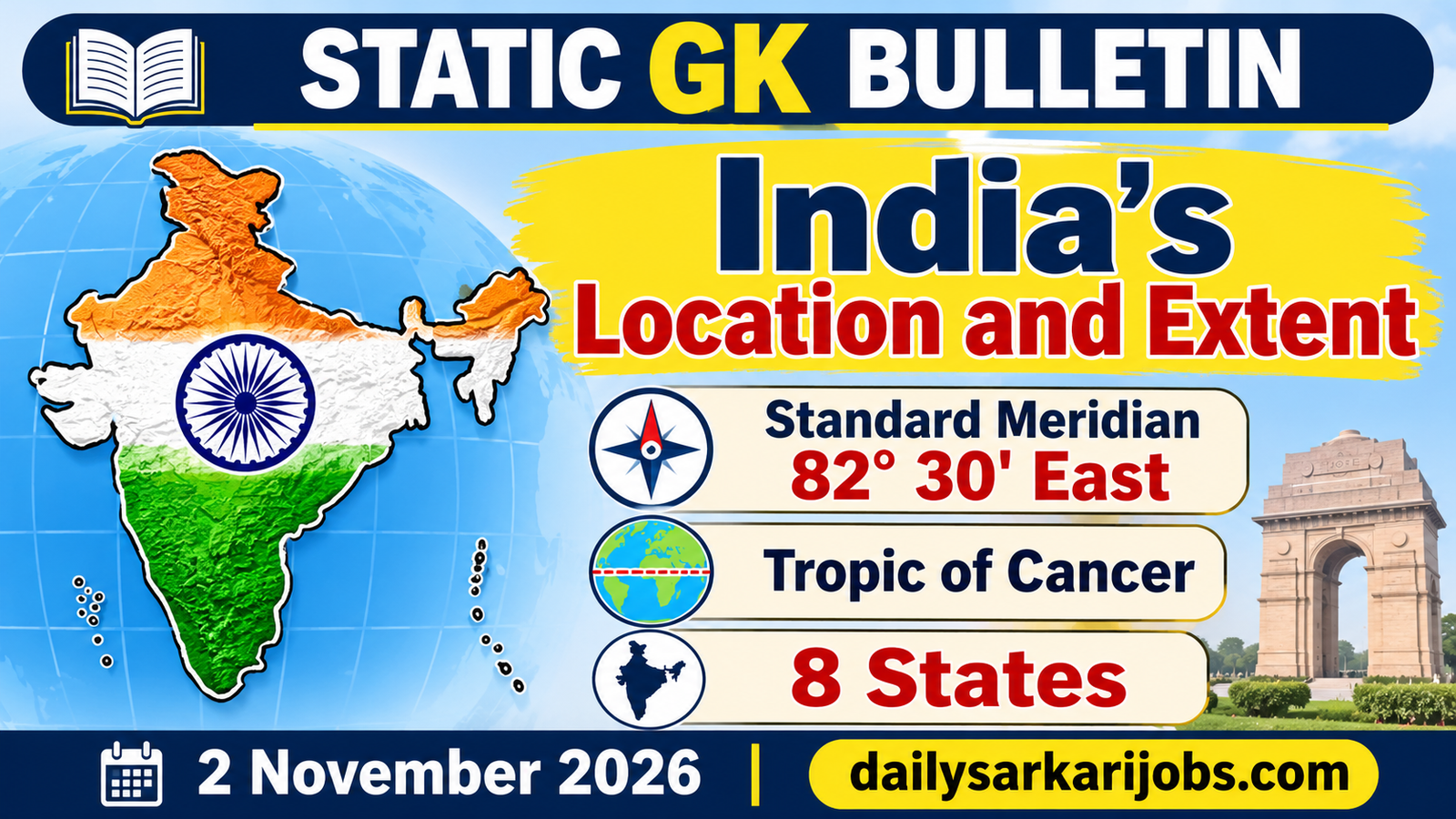
This is one of the first chapters in every geography book and one of the most reliably tested, and most candidates treat it as a pile of numbers to be crammed. It is not.Two imaginary lines decide India’s clock, its climate and half the questions asked about it.
⚡ QUICK FACTS
Latitudinal extent
8°4′N to 37°6′N
Longitudinal extent
68°7′E to 97°25′E
Standard Meridian
82°30′E, through Mirzapur
Tropic of Cancer
23°30′N — across eight states
Area
32,87,263 sq km — about 2.4% of the world
Coastline
7,516.6 km, including the islands
The Hinge: Two Lines Do Most of the Work
India is a large country, but you do not need to remember its shape. You need to remember two lines that cross it.
The line
Where it is
What it decides
The Standard Meridian
82°30′E, passing through Mirzapur, Uttar Pradesh
Indian Standard Time — the clock for the whole country
The Tropic of Cancer
23°30′N, roughly cutting India in half
Climate — tropical to the south, subtropical to the north
Start with the clock, because the arithmetic is beautiful and it is often asked. The earth turns 360 degrees in 24 hours, so it covers 15 degrees in an hour, or one degree in four minutes.
Multiply: 82.5 degrees × 4 minutes = 330 minutes = 5 hours 30 minutes. That is exactly why Indian Standard Time is five and a half hours ahead of Greenwich.The half hour is not a quirk; it falls straight out of where the meridian was drawn.
Jargon, Defined Once
Latitude — how far north or south of the Equator a place is. Latitudes run as parallel circles and decide climate.
Longitude — how far east or west of the Prime Meridian at Greenwich a place is. Longitudes run from pole to pole and decide time.
Standard Meridian — one longitude chosen by a country to set a single official time for all of it, so that every town does not keep its own local time.
Tropic of Cancer — the northernmost latitude at which the sun can be directly overhead, which happens there once a year, around 21 June.
The Extent, and the Trap Inside It
Latitude:8°4′N to 37°6′N.
Longitude:68°7′E to 97°25′E.
North to south: 3,214 km.East to west: 2,933 km.
Area 32,87,263 sq km, about 2.4 per cent of the world’s land area, making India the seventh largest country.
Land frontier 15,200 km; coastline 7,516.6 km counting the mainland, the Andaman and Nicobar Islands and Lakshadweep.
Now the trap, and it is the most common one in the chapter. The 8°4′N figure is the southern tip of the mainland, at Kanyakumari. The southernmost point of Indian territory is different: it is Indira Point in the Nicobar Islands, at about 6°45′N.
A question asking for the southernmost point of India and a question asking for the southernmost point of the Indian mainland have different answers. Read the wording before you answer.
The Tropic of Cancer and Its Eight States
The Tropic of Cancer crosses eight Indian states. Learning them in west-to-east order is far easier than learning them as a set, because that is the order they appear on a map:
Order
State
1
Gujarat
2
Rajasthan
3
Madhya Pradesh
4
Chhattisgarh
5
Jharkhand
6
West Bengal
7
Tripura
8
Mizoram
Memory trick:Gujarat Rajasthan Make Children Join With Toy Makers. Eight initials, west to east. Note what is not on the list: the Tropic does not pass through Maharashtra, Odisha or Bihar, and those three are the usual wrong options.
Because the Tropic runs through the middle of the country, the sun is directly overhead somewhere in India at some point every year, and the northern half experiences a genuine winter while the south does not. That is the starting point for our capsule on the Indian monsoon, which is driven by exactly this difference in heating.
Neighbours, Borders and Channels
India shares land borders with seven countries: Pakistan, Afghanistan, China, Nepal, Bhutan, Myanmar and Bangladesh. The longest land border is with Bangladesh and the shortest with Afghanistan. Across the sea lie Sri Lanka and the Maldives.
The water channels are a favourite one-mark question, and they are easiest learned as a set because three of them are named after their own latitude:
Channel or strait
Separates
Palk Strait and the Gulf of Mannar
India from Sri Lanka
Ten Degree Channel
The Andaman group from the Nicobar group
Nine Degree Channel
Lakshadweep from Minicoy
Eight Degree Channel
Minicoy from the Maldives
Duncan Passage
South Andaman from Little Andaman
Three of those names are their latitudes.Ten, nine, eight — and they run from north to south in that order. Learn the sequence and three answers come free.
Did You Know: India Really Should Have Two Time Zones
India stretches across about 29 degrees of longitude, from Gujarat in the west to Arunachal Pradesh in the east. At four minutes per degree, that is nearly two hours of real difference in when the sun rises.
And yet every clock in the country is set by Mirzapur.The sun comes up in Arunachal Pradesh while much of India is still hours from dawn, and offices there open on a clock borrowed from the Gangetic plain. This is why a second time zone for the north-east is periodically proposed and periodically set aside — and why the 82°30′E figure is worth understanding rather than memorising.
Why a Reader Should Care
This is the cheapest chapter in geography. The facts are few, fixed and asked every year — the extent, the Standard Meridian, the Tropic of Cancer states, the channels, the neighbours. Nothing in it changes.
It is also the foundation the rest of geography sits on. Climate, rainfall and the monsoon follow from latitude; what grows where follows from climate, which our capsule on soils and crops covers; and the drainage of the country is set out in rivers, dams and lakes.
Today’s Current Affairs capsule is on the International Solar Alliance and its 9th Assembly, and the two meet on one of these very lines. The ISA was originally open only to countries lying between the Tropic of Cancer and the Tropic of Capricorn — so the line that runs through eight Indian states was, for five years, also the boundary of an international organisation’s membership.
Practice Questions
Q1. The Standard Meridian of India passes through which town? (a) Prayagraj (b) Mirzapur (c) Varanasi (d) Kanpur Answer: (b) Mirzapur It lies on 82 degrees 30 minutes east, and multiplying 82.5 by four minutes gives exactly the five and a half hours by which Indian Standard Time leads Greenwich.
Q2. The southernmost point of Indian territory is (a) Kanyakumari (b) Rameswaram (c) Indira Point (d) Point Calimere Answer: (c) Indira Point It lies in the Nicobar Islands at about 6 degrees 45 minutes north. The first option is the southern tip of the mainland, which is a different question.
Q3. The Tropic of Cancer passes through how many Indian states? (a) Six (b) Seven (c) Eight (d) Nine Answer: (c) Eight From west to east they are Gujarat, Rajasthan, Madhya Pradesh, Chhattisgarh, Jharkhand, West Bengal, Tripura and Mizoram.
Q4. The Ten Degree Channel separates (a) India from Sri Lanka (b) Lakshadweep from Minicoy (c) The Andaman group from the Nicobar group (d) Minicoy from the Maldives Answer: (c) The Andaman group from the Nicobar group Three channels are named for their own latitudes, and they run ten, nine and eight from north to south.
Q5. India’s area is approximately what share of the world’s land area? (a) 2.4 per cent (b) 4.2 per cent (c) 1.2 per cent (d) 7.2 per cent Answer: (a) 2.4 per cent That works out to 32,87,263 sq km, making India the seventh largest country in the world.
30-Second Revision
The hinge: two lines.82°30′E through Mirzapur sets Indian Standard Time (82.5 × 4 minutes = 5 hours 30 minutes), and 23°30′N, the Tropic of Cancer, splits India into a tropical south and a subtropical north.
Extent:8°4′N to 37°6′N and 68°7′E to 97°25′E; 3,214 km north to south and 2,933 km east to west; area 32,87,263 sq km, about 2.4% of the world, seventh largest. Land frontier 15,200 km, coastline 7,516.6 km.
The trap:Kanyakumari is the southern tip of the mainland; Indira Point in the Nicobars is the southernmost point of Indian territory.
Tropic of Cancer states, west to east:Gujarat, Rajasthan, Madhya Pradesh, Chhattisgarh, Jharkhand, West Bengal, Tripura, Mizoram. Channels:Ten splits Andaman from Nicobar, Nine splits Lakshadweep from Minicoy, Eight splits Minicoy from the Maldives. Seven land neighbours, longest border with Bangladesh.
Sources
Survey of India and NCERT geography material — the latitudinal and longitudinal extent, the north-south and east-west distances, the area and its share of the world, the length of the land frontier and the coastline, the Standard Meridian at 82°30′E through Mirzapur, and the eight states crossed by the Tropic of Cancer.
The list of land and maritime neighbours, the channels and straits, and the position of Indira Point are standard geography syllabus material rather than press-release facts.
Figures for area and coastline are the officially published ones and are quoted differently in some sources depending on what is counted; the values above are the conventional syllabus figures.